Modified Stererographics of Alaska
| Classification | Modified azimuthal |
| Available forms | Forward and inverse, spherical and elliptical projection |
| Defined area | Alaska |
| Alsk | alsk |
| Domain | 2D |
| Input type | Geodetic coordinates |
| Output type | Projected coordinates |
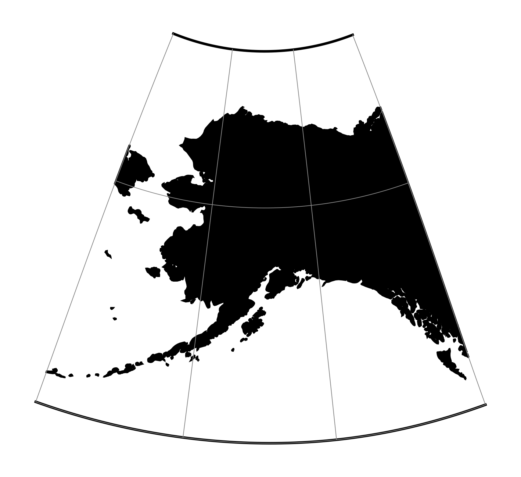
proj-string: +proj=alsk