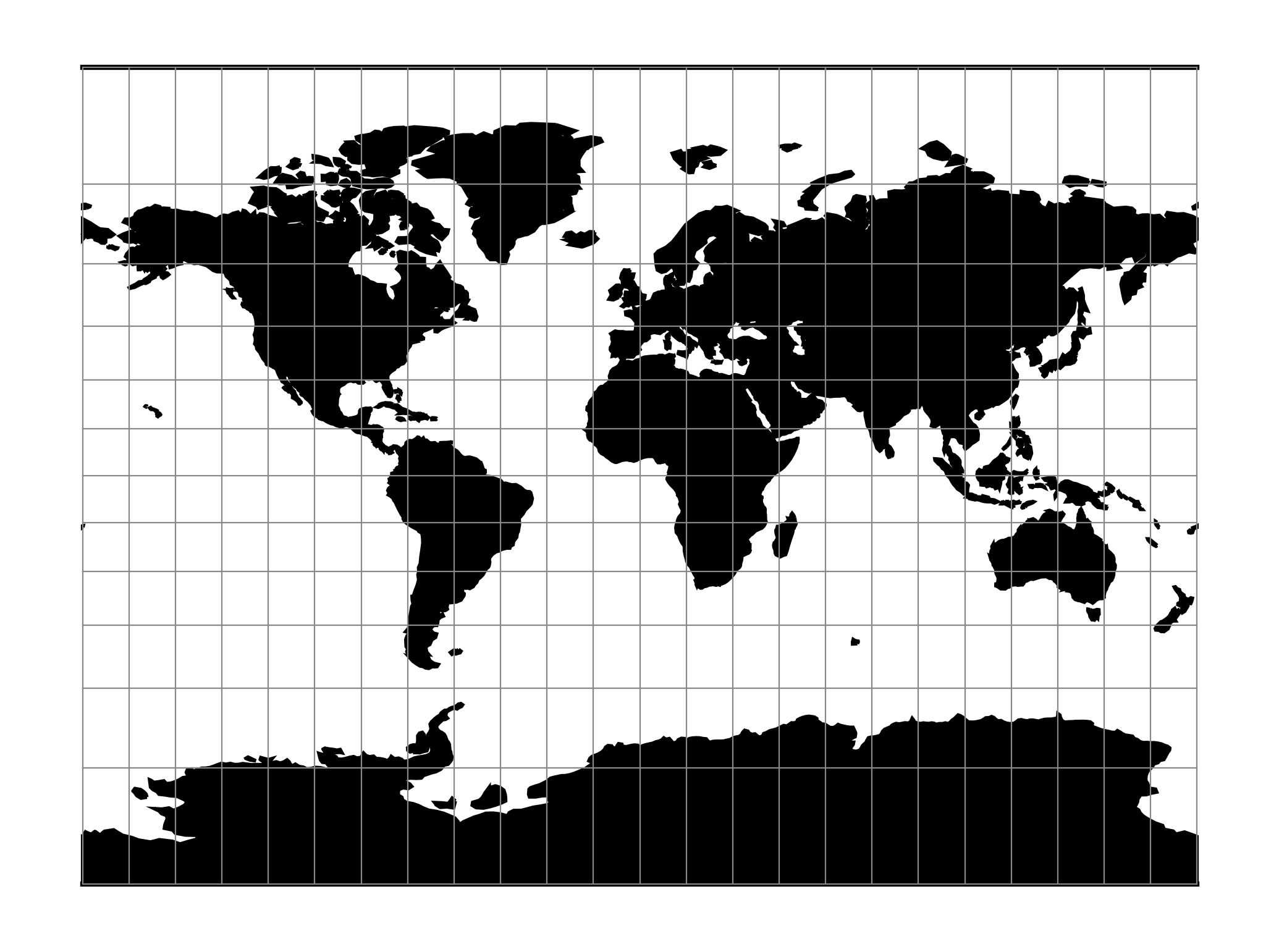
Miller Cylindrical
The Miller cylindrical projection is a modified Mercator projection, proposed by Osborn Maitland Miller in 1942. The latitude is scaled by a factor of \(\frac{4}{5}\), projected according to Mercator, and then the result is multiplied by \(\frac{5}{4}\) to retain scale along the equator.
| Classification | Neither conformal nor equal area cylindrical |
| Available forms | Forward and inverse spherical |
| Defined area | Global, but best used near the equator |
| Alias | mill |
| Domain | 2D |
| Input type | Geodetic coordinates |
| Output type | Projected coordinates |
proj-string: +proj=mill
Usage
The Miller Cylindrical projection is used for world maps and in several atlases, including the National Atlas of the United States (USGS, 1970, p. 330-331) [Snyder1987].
Example using Central meridian 90°W:
$ echo -100 35 | proj +proj=mill +lon_0=90w
-1113194.91      4061217.24
Parameters
Note
All parameters for the projection are optional.
-
+lon_0=<value>¶ Longitude of projection center.
Defaults to 0.0.
-
+R=<value>¶ Radius of the sphere given in meters. If used in conjunction with
+ellps+Rtakes precedence.
-
+x_0=<value>¶ False easting.
Defaults to 0.0.
-
+y_0=<value>¶ False northing.
Defaults to 0.0.
Mathematical definition
The formulas describing the Miller projection are all taken from [Snyder1987].