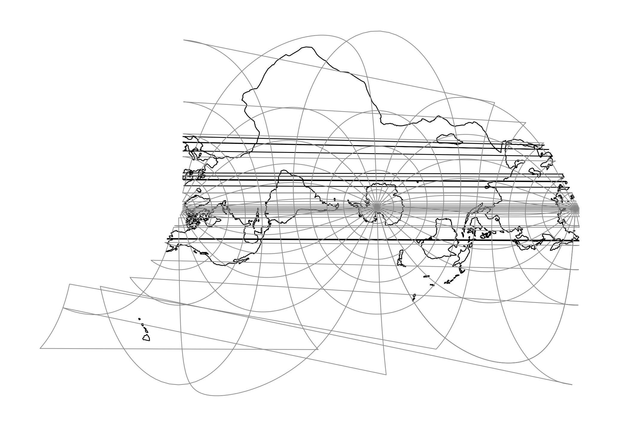
proj-string: +proj=lsat +ellps=GRS80 +lat_1=-60 +lat_2=60 +lsat=2 +path=2
+proj=lsat +ellps=GRS80 +lat_1=-60 +lat_2=60 +lsat=2 +path=2
+lsat
=<value>
Landsat satellite used for the projection. Value between 1 and 5.
+path
Selected path of satellite. Value between 1 and 253 when +lsat is set to 1,2 or 3, otherwise valid input is between 1 and 233.
+lon_0
Longitude of projection center.
Defaults to 0.0.
+ellps
See proj -le for a list of available ellipsoids.
proj -le
Defaults to “WGS84”.
+R
Radius of the sphere given in meters. If used in conjunction with +ellps +R takes precedence.
+x_0
False easting.
+y_0
False northing.