Universal Transverse Mercator (UTM)
The Universal Transverse Mercator is a system of map projections divided into sixty zones across the globe, with each zone corresponding to 6 degrees of longigude.
| Classification | Transverse cylindrical, conformal |
| Available forms | Forward and inverse, Spherical and Elliptical |
| Defined area | Within the used zone, but transformations of coordinates in adjacent zones can be expected to be accurate as well |
| Alias | utm |
| Domain | 2D |
| Input type | Geodetic coordinates |
| Output type | Projected coordinates |
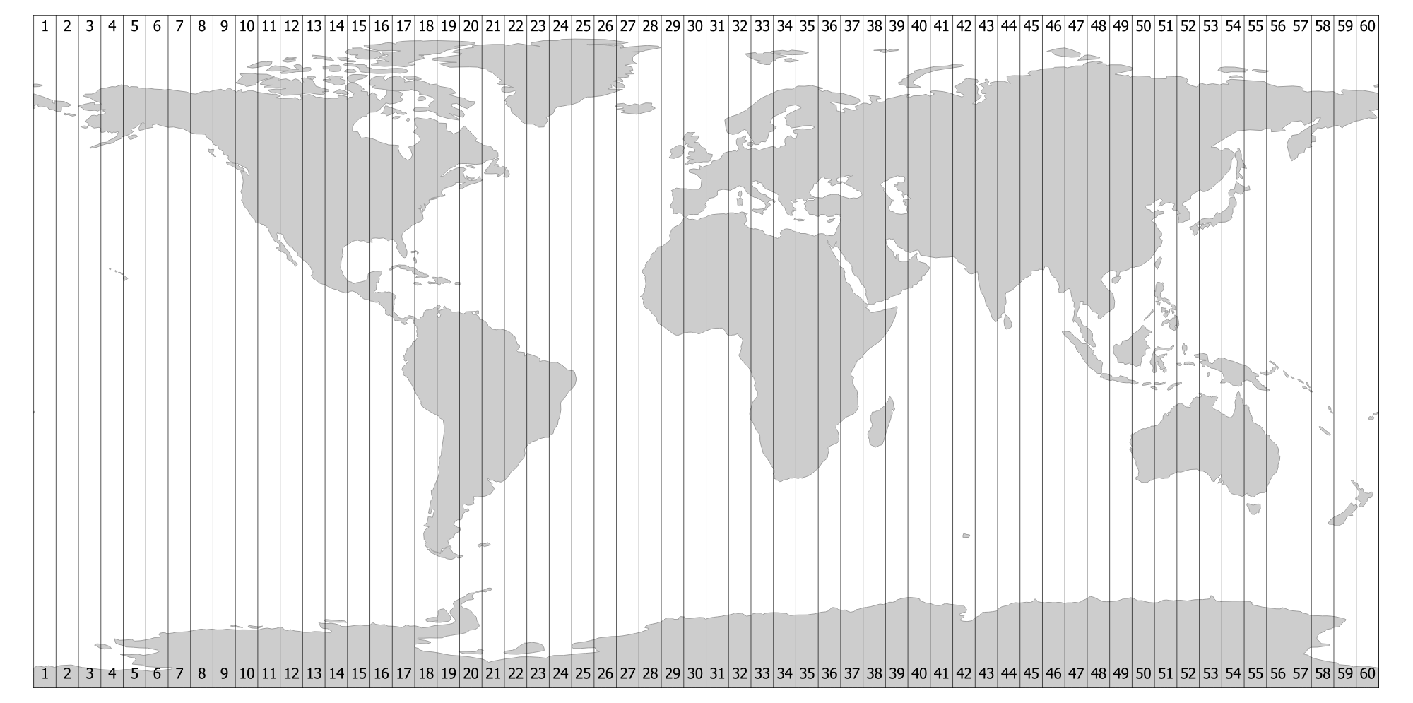
UTM zones.
UTM projections are really the Transverse Mercator to which specific parameters, such as central meridians, have been applied. The Earth is divided into 60 zones each generally 6° wide in longitude. Bounding meridians are evenly divisible by 6°, and zones are numbered from 1 to 60 proceeding east from the 180th meridian from Greenwich with minor exceptions [Snyder1987].
Usage
Convert geodetic coordinate to UTM Zone 32 on the northern hemisphere:
$ echo 12 56 | proj +proj=utm +zone=32
687071.44       6210141.33
Convert geodetic coordinate to UTM Zone 59 on the souther hemisphere:
$ echo 174 -44 | proj +proj=utm +zone=59 +south
740526.32       5123750.87