Mercator
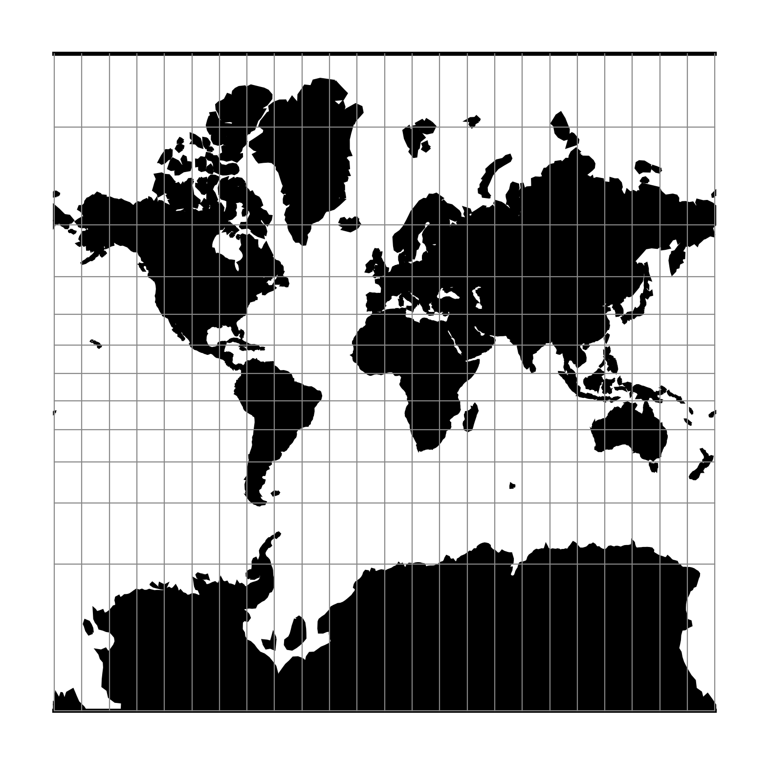
The Mercator projection is a cylindrical map projection that origins from the 15th century. It is widely recognized as the first regularly used map projection. The projection is conformal which makes it suitable for navigational purposes.
| Classification | Conformal cylindrical |
| Available forms | Forward and inverse, spherical and elliptical projection |
| Defined area | Global, but best used near the equator |
| Alias | merc |
| Domain | 2D |
| Input type | Geodetic coordinates |
| Output type | Projected coordinates |
proj-string: +proj=merc
Usage
Applications should be limited to equatorial regions, but is frequently
used for navigational charts with latitude of true scale (+lat_ts) specified within
or near chart’s boundaries.
Often inappropriately used for world maps since the regions near the poles
cannot be shown [Evenden1995].
Example using latitude of true scale:
$ echo 56.35 12.32 | proj +proj=merc +lat_ts=56.5
3470306.37    759599.90
Example using scaling factor:
echo 56.35 12.32 | proj +proj=merc +k_0=2
12545706.61     2746073.80
Note that +lat_ts and +k_0 are mutually exclusive.
If used together, +lat_ts takes precedence over +k_0.
Parameters
Note
All parameters for the projection are optional.
-
+lat_ts=<value>¶ Latitude of true scale. Defines the latitude where scale is not distorted. Takes precedence over
+k_0if both options are used together.Defaults to 0.0.
-
+k_0=<value>¶ Scale factor. Determines scale factor used in the projection.
Defaults to 1.0.
-
+lon_0=<value>¶ Longitude of projection center.
Defaults to 0.0.
-
+x_0=<value>¶ False easting.
Defaults to 0.0.
-
+y_0=<value>¶ False northing.
Defaults to 0.0.
-
+R=<value>¶ Radius of the sphere given in meters. If used in conjunction with
+ellps+Rtakes precedence.
Mathematical definition
The formulas describing the Mercator projection are all taken from G. Evenden’s libproj manuals [Evenden2005].
Spherical form
For the spherical form of the projection we introduce the scaling factor:
Forward projection
Inverse projection
Elliptical form
For the elliptical form of the projection we introduce the scaling factor:
where \(m\left(\phi\right)\) is the parallel radius at latitude \(\phi\).
We also use the Isometric Latitude kernel function \(t()\).
Note
m() and t() should be described properly on a separate page about the theory of projections on the ellipsoid.